
Cutting-edge technology
Geographic Information Systems, Remote Sensing, Machine Learning, and Cloud Computing for large-scale spatial analysis.
Geospatial Research for Environmental and Social Impact
We are a nonprofit research foundation using geographic information systems, remote sensing, and spatial modeling to address environmental, disaster-risk, and sustainable development challenges in Indonesia.
Depok, West Java6° 23' 3.17" LS, 106° 50' 35.502" BT
Yayasan Eco SpaceTime Indonesia (YESTI) is a nonprofit research foundation focused on applying geospatial technology — Geographic Information Systems, Remote Sensing, and Spatial Modeling — to environmental, disaster-risk, and sustainable development challenges in Indonesia.
Based in Depok, West Java, YESTI combines academic research expertise with the practical needs of policymakers, government agencies, and local communities. We believe good spatial data is the foundation of good decisions.
To be a leading geospatial research institution that produces data-driven innovation to support sustainable development and the wellbeing of Indonesian communities.
Five areas where we work with spatial data.
Monitoring land cover, marine, and environmental quality change from satellite imagery.
Modeling disaster risk, vulnerability, and early-warning systems.
Analysis for urban and regional planning, including spatial multi-criteria decision analysis.
Monitoring crop conditions, yield prediction, and agricultural land analysis.
Crime pattern analysis and area mapping for defense needs.
Geographic Information Systems, Remote Sensing, Machine Learning, and Cloud Computing for large-scale spatial analysis.
Publication standards aligned with Scopus Q1 international journals, with reproducible methodology.
Collaboration with BIG (Indonesian Geospatial Agency), CSIS Indonesia, universities, and national-international NGOs.
The researchers, advisors, and officers running the foundation.
Trustee / Principal Investigator
Geographic Information Systems, Remote Sensing, Spatial Modeling, Climate Modeling
View profile →Chair of the Board
Geospatial Analysis, Satellite Image Processing, OBIA, Spatial Modeling, Numerical Analysis
View profile →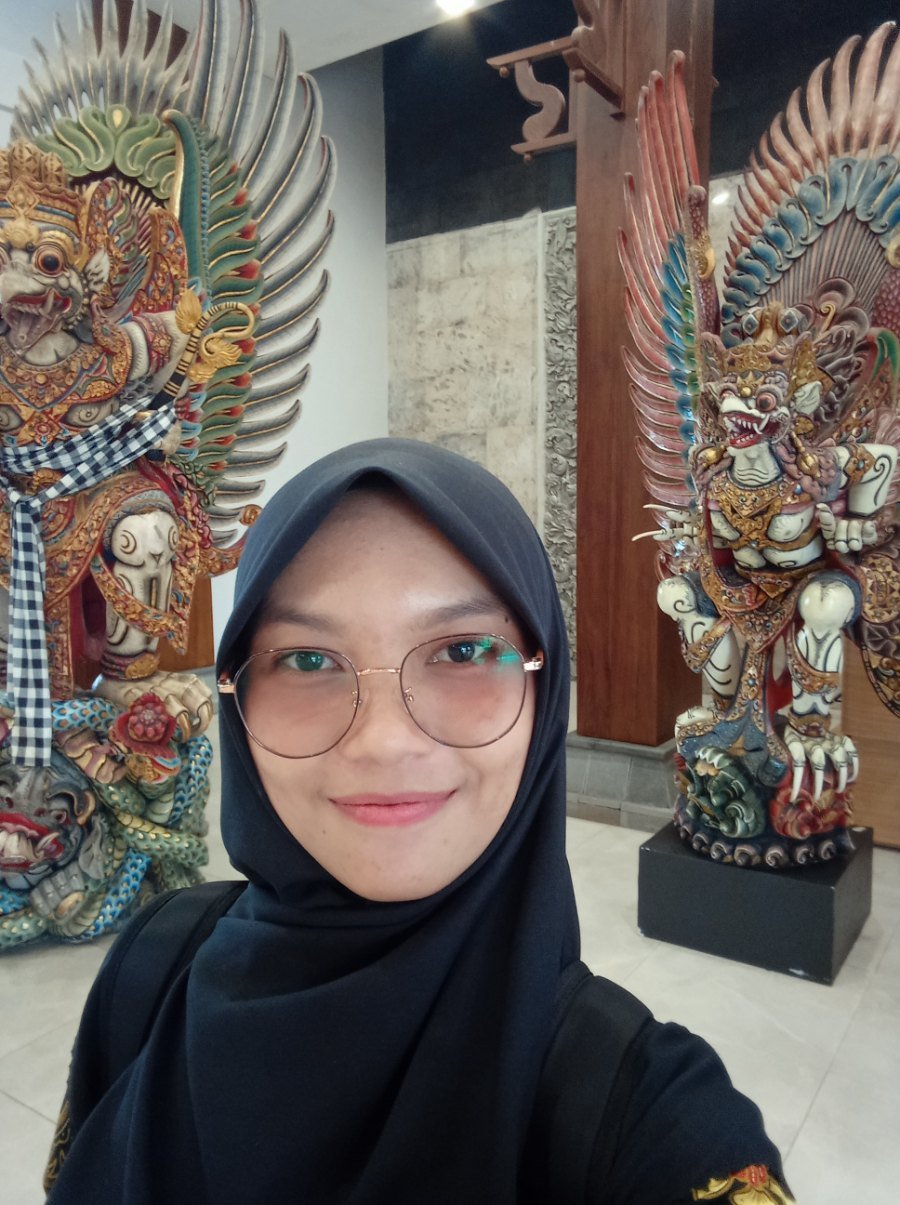
Senior Scientific Advisor
Geospatial Analysis, Cartography, Spatial Analysis
View profile →Senior Scientific Advisor
Geospatial for SDGs and Defense
View profile →
Senior Scientific Advisor
Environmental Science and Social Science
View profile →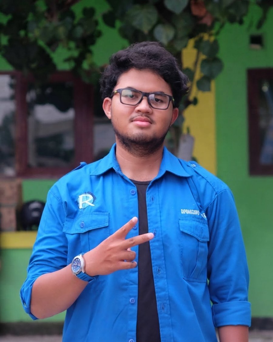
Secretary
Secondary data integration, GIS database management, Numerical Analysis
View profile →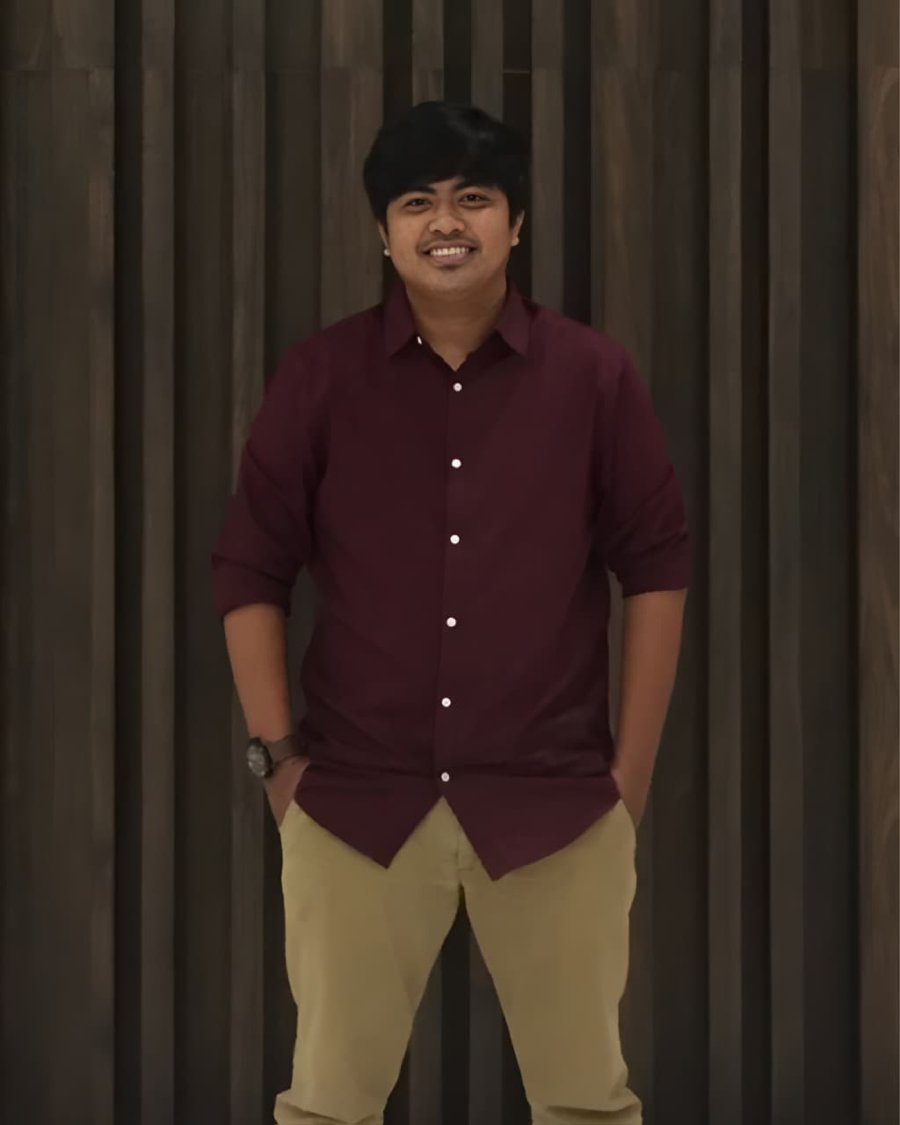
Treasurer
Cartography, geospatial visualization, machine learning
View profile →Jl. Damar Laut VI No.266B, RT.8/RW.14, Kel. Bakti Jaya, Kec. Sukmajaya, Kota Depok, Jawa Barat, 16418